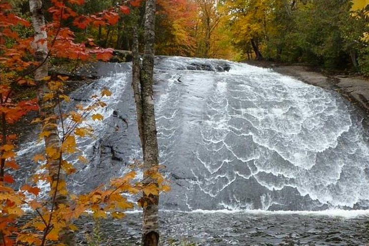
ATV/Adventure Bike Trail
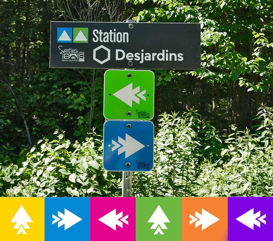
The Arrow Trails
Our group set up “The Arrow Trails,” a unique signage system inspired by the patterns of subway lines in major cities. There are five routes with different colours that will take you to the members of our network. Throughout the forest, there is different coloured signage indicating trails, lodges and mileage. At intersections of two routes, you will find stations to guide you with a map and other relevant indications. This system, that we’re really proud of, will facilitate the planning of your route; will make sure you keep your bearings in the forest; and will ensure your safety.
To plan your trips, look up the mileage and services along the trails, and identify the clubs you’ll visit; we suggest using the FQCQ interactive map.